We have been issued with a flood warning from the Environment Agency that reads:
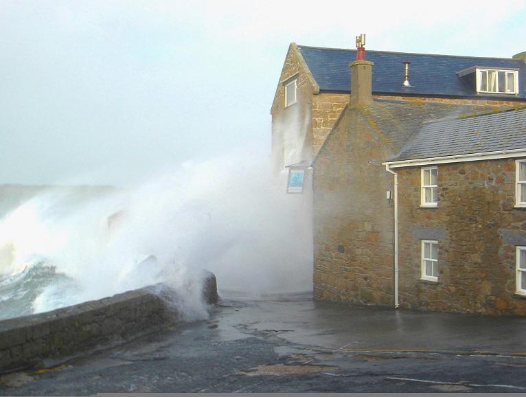
High tides, strong winds and large waves may lead to localised flooding over the high tide on Thursday afternoon and Friday morning.
Developing Low Pressure from Thursday is forecast to bring strong South Westerly winds and large waves. Harbour walls and communities exposed to the prevailing conditions may experience wave overtopping.
The time of high water on Thursday at St Marys is 16:15 GMT. The tide height expected is 6.14m local datum including a forecast surge of 0.26m. Wind is forecast to be a Force 5 South South Westerly.
The time of high water on Friday at St Marys is 04:30 GMT. The tide height expected is 6.03m local datum including a forecast surge of 0.16m. Wind is forecast to be a Force 7 West South Westerly.
We will be placing the storm boards at the Atlantic Slip, The Thorofare and at Pothmellon and will be monitoring the forecast. Any updates will be passed on to the community.
Please take appropriate precautions.
